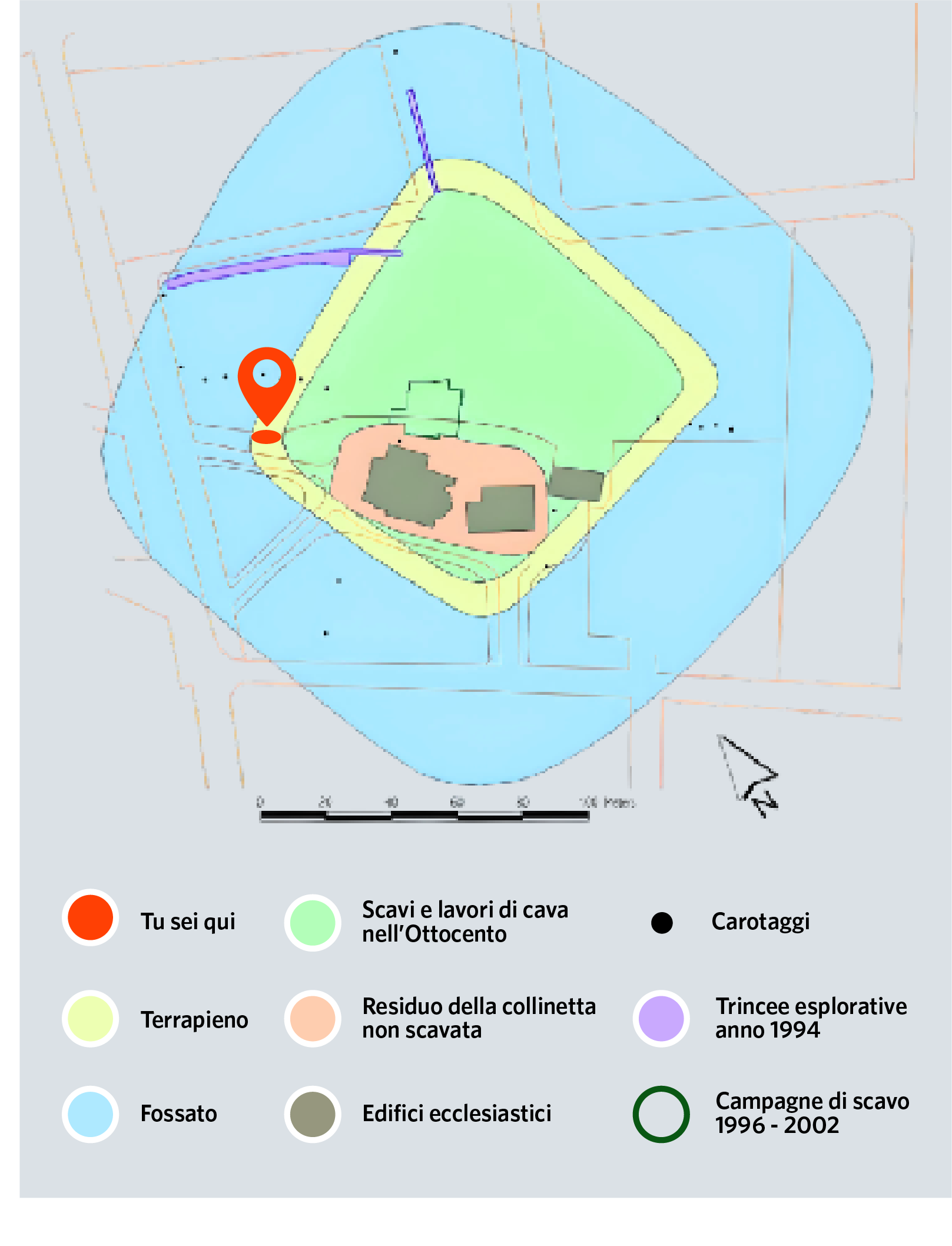
In Montale the moat was recognised in the 1996 - 2002 excavations. The stratigraphy found within it documents its construction at the time of settlement or shortly thereafter. It reached a width of 40 metres in places and a depth of approximately 3 metres. With the abandonment of the terramara, it was gradually filled in by alluvial deposits. During the Etruscan and Roman ages it was no longer visible. In the Middle Ages, at the same time as the construction of the castlea new perimeter ditch was dug, partly coinciding with the Bronze Age layout.
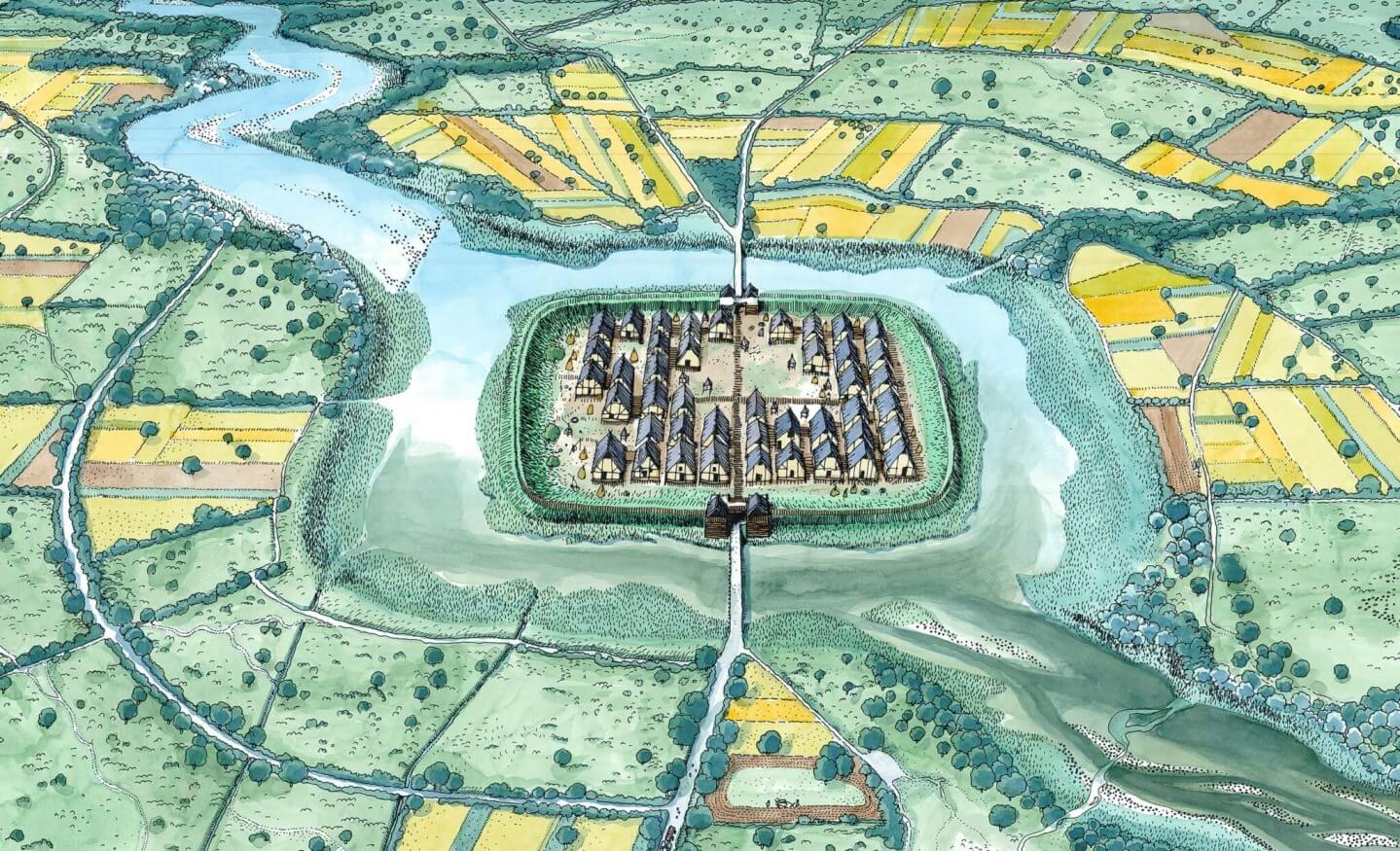
The defensive rampart, identified in the 19th-century excavations, had impressive dimensions: a maximum width at the base of at least 10 metres and a preserved height of two metres. The original elevation must have been higher, however, and in all probability a palisade stood on top. The overall width of the moat and embankment was therefore close to 50 m, making the village difficult to access.